©
OpenStreetMap
contributors, ©
CARTO
x
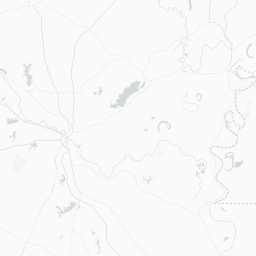
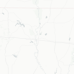
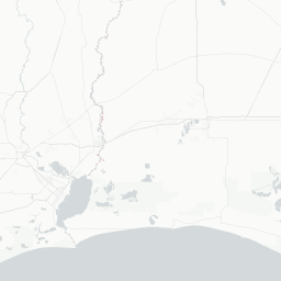
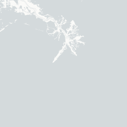
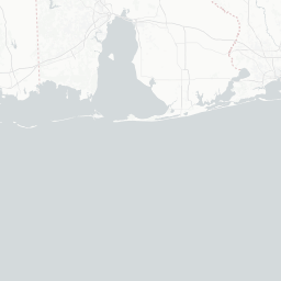
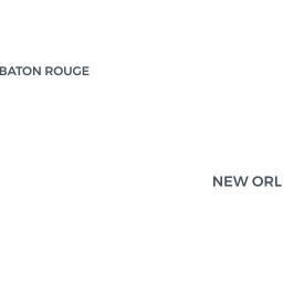
Bayou Bridge Oil Export Pipeline
USACE Water Management Units
Bayou Fisher
Open Cuts to streams could be avoided, will clog drainage
Wetland Impacts ciricled in Black
Green are Mitigation Banks
Light Green are Spoil Bank Mitigation for Westward Ho
Red are wetland impact locations
Blue are USACE Water Management Units
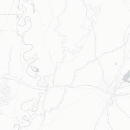
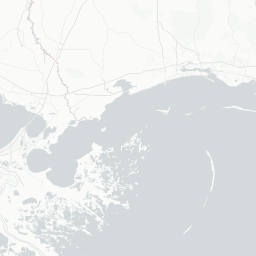
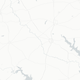
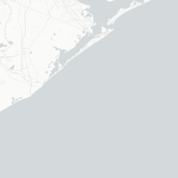
The Pipeline would cross only 40 feet under Bayou Lafourche,
drinking water for 300,000 people
and fresh water for 120,000 acres of salt marsh
Affecting lands of the United Houma Nation
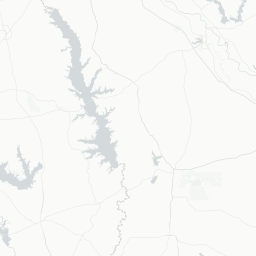
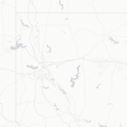
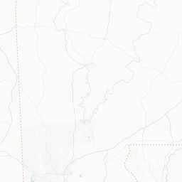
The pipeline would cross thousands of acres of farmland,
rendering more and more rice fields out of production.
It would pass under the Mermentau River
Freshwater for valuable coastal marshes that soak up
hurricane surge from Southwest Louisiana.
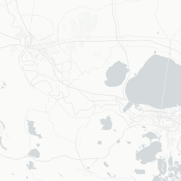
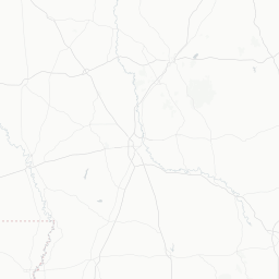
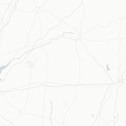
The Right of Way would restrict the flow of water in deep Swamps of Flat Lake
silting in valuable crawfishing forests
turning swamp into hardwood or even tallow forest
It will be mitigated north of the Basin with more hardwood forest
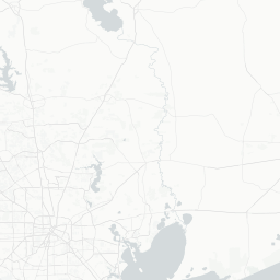
The pipeline would be the largest wetland fill
in Acadia and Lafayette Parishes
in four years, filling valuable floodplains.
Acadia and Lafayette are still recovering
from the Gulf rains of August 2016.
x
Share this map
Social
Share on Facebook
Share on Twitter
Link to this map
Embed this map
<iframe width='100%' height='520' frameborder='0' src='https://gulfwetlandsmap.carto.com/viz/05ac84a0-ff00-48ea-b128-1f0314aad8ac/embed_map' allowfullscreen webkitallowfullscreen mozallowfullscreen oallowfullscreen msallowfullscreen></iframe>
Visible layers
4
bayou_bridge_buffer
bayou_bridge_stream_impacts_no_water_bodies
bayou_bridge_wetlands_tables_no_streams
cb_2013_us_county_500k
streams_crossed_by_bayou_bridge
gulf_ribits_locations_july_2017
wmu_for_buffalocovedseis
priority1_restoration
+
-
CARTO
This visualization only works in modern browsers. Upgrade yours and enjoy.
Safari
Chrome
Firefox
Map created by
Gulf Restoration Network